
Salinas ZIP Code Coverage by Area
A useful Salinas ZIP code directory begins with the USPS distinction between delivery ZIPs and PO box ZIPs. The table gives the researched general coverage, post-office association, and boundary caution. It is a guide to the postal label, not a substitute for an address result or a parcel jurisdiction check.
| ZIP | General area | Post office or station | Boundary note |
|---|---|---|---|
| 93901 | Downtown, South Salinas, Maple Park, Mission Park, central and southern neighborhoods | John Steinbeck, 100 W. Alisal Street | Standard delivery ZIP, principally city |
| 93902 | Salinas PO boxes | Salinas postal operations | PO box ZIP, not a neighborhood |
| 93905 | East Salinas and Alisal | Alisal, 303 N. Sanborn Road | Standard delivery ZIP |
| 93906 | North Salinas, Harden Ranch, Northridge, north and northeast areas | Salinas postal facilities | Standard delivery ZIP |
| 93907 | Northwest postal Salinas and land north or west of the city | Salinas, 1011 Post Drive | Large city and county mismatch |
| 93908 | South and east postal Salinas, including Corral de Tierra, Pine Canyon, and Pasadera vicinity | Salinas postal system | Much geography outside incorporated Salinas |
| 93912 | Salinas PO boxes | Salinas postal operations | PO box ZIP, not a neighborhood |
| 93915 | Salinas PO boxes | Salinas postal operations | PO box ZIP, not a neighborhood |
There are five standard delivery ZIPs in the researched Salinas group: 93901, 93905, 93906, 93907, and 93908. The other three are PO box ZIPs. Nearby 93962, 95012, and 93925 belong to other postal communities even when older directories group those communities with Salinas.
Five Delivery ZIP Codes in Salinas
93901 covers much of central and southern Salinas, including Downtown, Maple Park, Mission Park, and South Salinas. 93905 covers East Salinas and Alisal. 93906 reaches North Salinas and later northeastern subdivisions such as Harden Ranch and Northridge. These delivery ZIPs are useful for sorting address leads, but a ZIP does not reveal every person who receives mail there. The Salinas ZIP code directory is useful for sorting these delivery areas before a parcel search begins.
The USPS city-and-state lookup is the clean way to confirm that an address is assigned to a particular ZIP. It can return a ZIP or ZIP+4 for the address entered, which is more precise than copying a postal city from an old directory.
The city-and-state lookup form is a separate USPS route from the address form.
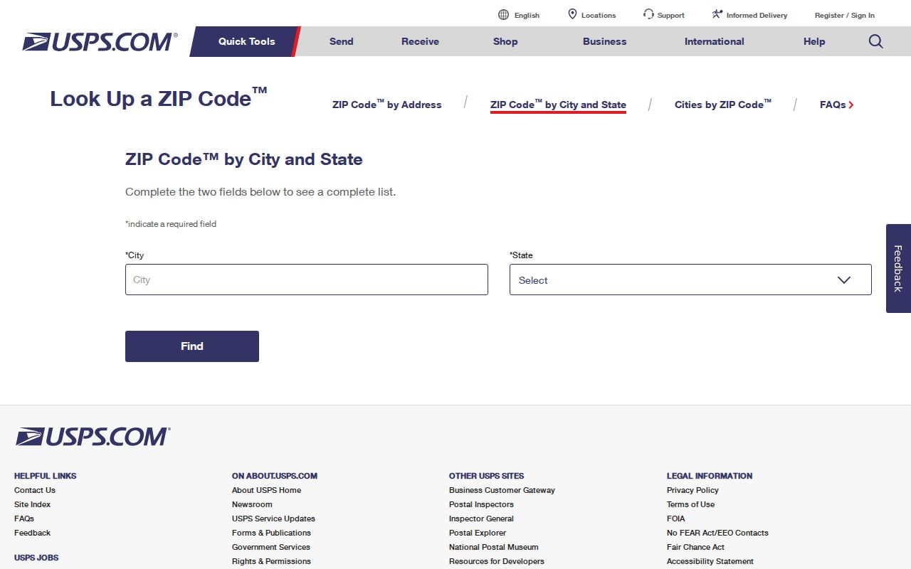
Use the form to test the postal assignment, then use GIS to test the city or county jurisdiction behind it.
Salinas PO Box ZIP Codes
93902, 93912, and 93915 are PO box ZIPs in the researched Salinas set. They describe a postal delivery arrangement, not a residential neighborhood. A name or address attached to a PO box should be labeled as postal information. It does not give a parcel, situs, household, or city-limit result.
That distinction matters when an old Salinas city directory lists a business, organization, or family under a mailing route. Search the physical address separately if the question is about land or a former household. The county assessor and GIS use parcel keys, while USPS uses delivery keys.
The USPS location finder helps confirm facilities and services.
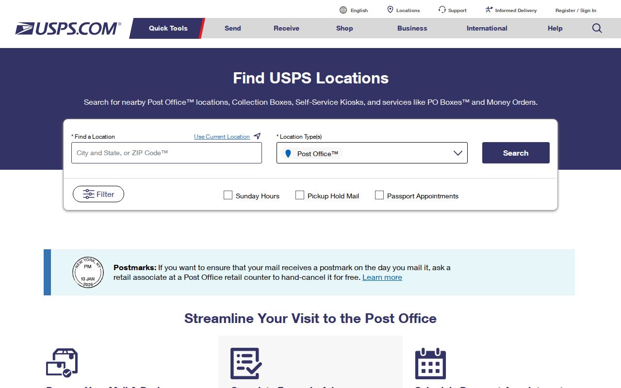
A post-office location is evidence about mail service. It is not a ZIP-wide residents directory.
Salinas 93907 and 93908 Geography
The most important Salinas ZIP boundary issue is the postal city and local jurisdiction mismatch. 93907 reaches substantial land north and west of incorporated Salinas. 93908 reaches south and east into unincorporated areas, including the Corral de Tierra, Pine Canyon, and Pasadera vicinity. A Salinas postal city label can therefore lead to a county permit, sheriff, assessor, or records route instead of a City of Salinas route.
The official city ZIP map is useful for the first geographic read, but parcel and jurisdiction data should settle a record question. Do not infer city residence from the ZIP alone. The same caution applies to old Polk volumes that use rural routes and surrounding communities in a single regional directory.
The John Steinbeck postal facility listing provides a visual boundary check.
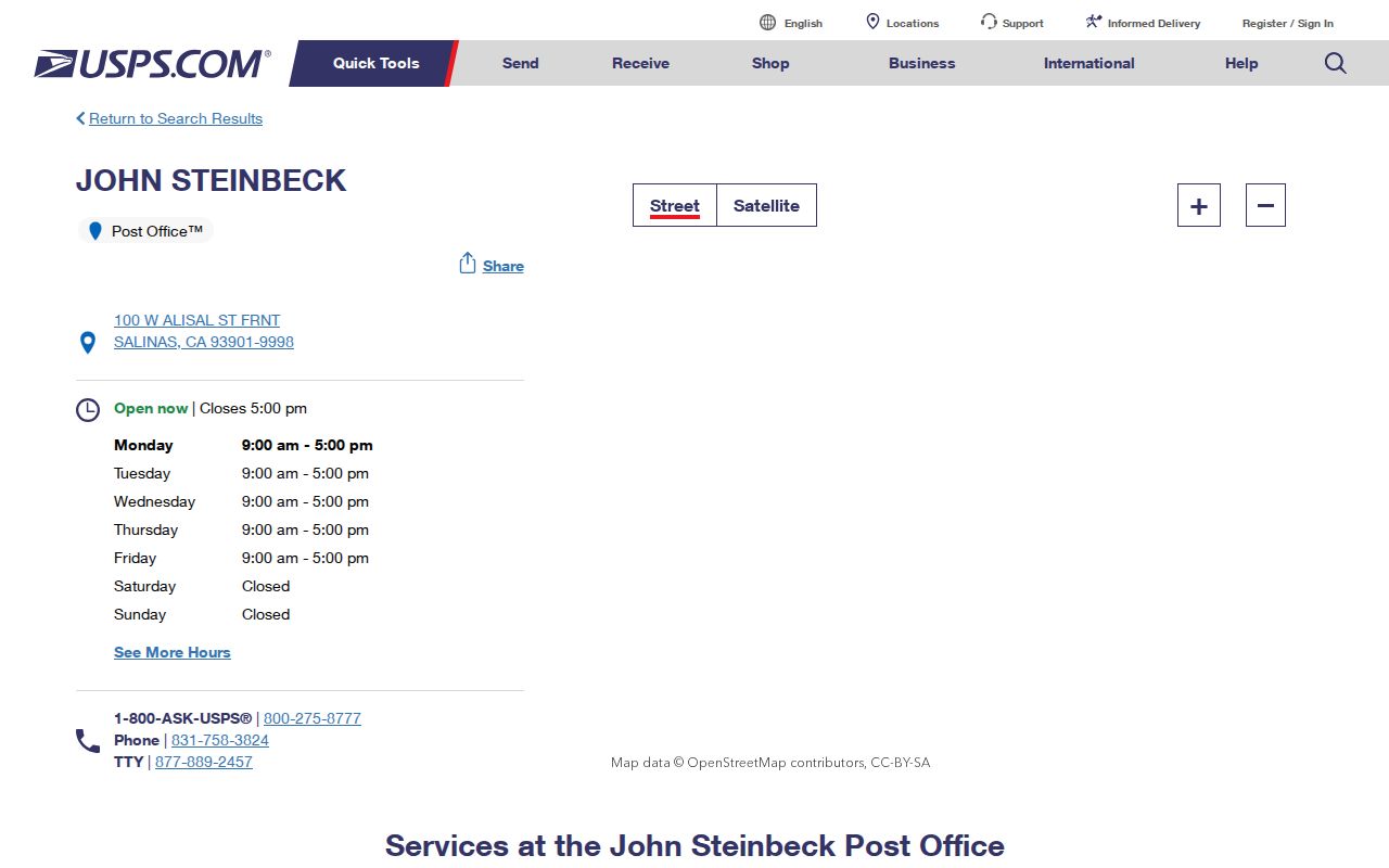
The John Steinbeck facility is associated with 93901 delivery. Its presence does not make every address using a Salinas postal city part of the incorporated city.
Find Salinas Residents by ZIP Code
A ZIP can narrow a search only after a person or address has a record source. No verified Monterey assessor interface with a ZIP filter was found in the research. The county Property Inquiry uses a Fee Parcel Number or Assessment Number, and the GIS viewer uses address or APN. Voter data is restricted, and USPS does not provide a ZIP-wide resident roster.
- Confirm the full address and ZIP with USPS, using the exact address form rather than an old postal label.
- Check the Salinas GIS map to see whether the address is inside the city or in unincorporated Monterey County.
- Save the APN, then use the assessor roll for parcel facts and the recorder for dated instruments.
- For a historical household, search the John Steinbeck Library's directory, census, newspaper, or yearbook holdings by year and locality.
- Once a ZIP narrows to a street, move to the Salinas street directory for the address-keyed chain.
The steps avoid treating a postal label as proof of current occupancy. A ZIP can sort records, but the record custodian still determines what the result means.
USPS Address Fields for Salinas
The USPS address lookup is the best tool for a precise delivery assignment. It asks for a street address, city, and state, then returns the matching ZIP information. A location finder answers a different question by locating a facility. A city-and-state search starts with a postal place and may show the ZIP choices linked to it. These tools should not be described as resident searches. A Salinas ZIP code directory should treat the returned postal code as a delivery clue, not a resident record.
The address-first USPS form shows the level of detail needed for a ZIP check.
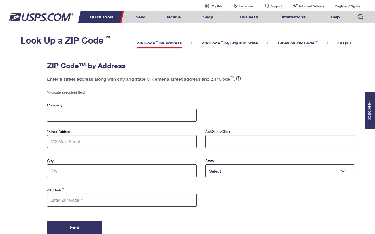
Use the exact address result to prevent a rural route or nearby community from being silently folded into Salinas.
USPS also lists the Alisal facility associated with East Salinas delivery.
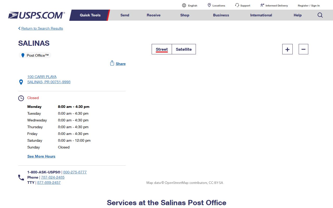
A post-office result confirms a delivery facility and ZIP relationship. It does not identify the people who use that facility.
ZIP Codes Versus Salinas City Limits
A ZIP is a USPS delivery construct. A city limit is a municipal boundary. A parcel is a land unit. A postal city is the place name used for mail. Those four terms can point to different maps. For permits, code cases, police service, or city public records, the parcel jurisdiction matters more than the postal city printed on an envelope.
- ZIP code
- A USPS delivery area used to route mail.
- ZIP+4
- A more specific delivery extension attached to a five-digit ZIP.
- PO box ZIP
- A ZIP associated with box delivery rather than a mapped residential area.
- Unique ZIP
- A ZIP assigned to a single organization or special delivery arrangement, not assumed here without a verified source.
- Carrier route
- A local delivery path within a postal system, not a city or parcel boundary.
Use the Salinas GIS ZIP map as a visual aid and the Monterey County Parcel Report App as the parcel check. If the question is about a record, follow the custodian listed for the jurisdiction found.
Keep the postal result in a dated worksheet with the exact street address, returned city and state, five-digit ZIP, ZIP+4 when supplied, and the lookup route used. Then save the parcel APN and note whether the lot falls inside the incorporated boundary. This small record prevents a later researcher from treating a changed postal label as a changed residence. It also makes a 93907 or 93908 edge case easier to explain when county and city sources use different service areas.
When a research note says Salinas without a ZIP, do not assign one from memory. Test the street address with USPS, then use the returned code as the starting key for GIS. If the location is a PO box, retain 93902, 93912, or 93915 as postal data and seek the physical address separately. That distinction protects a historical directory entry from being mapped to the wrong parcel.
Annexation Changed Salinas ZIP Geography
Historical ZIP research gains context from Salinas growth. The first annexation brought 52 acres along Romie Lane in 1933. Forty-three additions from 1950 through 1956 doubled the city's area. Alisal rejected annexation in 1949, then became part of East Salinas in 1963, when the city's population nearly doubled to about 50,000. Harden Ranch, Creekbridge, Williams Ranch, and Northridge later shaped northeastern growth.
An old directory address may begin under a township, rural route, or Alisal label and later carry a Salinas postal city. That change does not by itself show that a family moved. Pair the directory with a deed, parcel map, Sanborn sheet, census, or city annexation record.
ZIP codes help sort the modern mail trail. They cannot erase the historic geography that shaped how a name was recorded.
Salinas ZIP Code Directory Limits
A ZIP code directory can organize delivery areas and guide the next address check. It cannot list every household, show all parcel owners, or disclose restricted voter data. USPS does not reveal who receives mail at a ZIP. Monterey's assessor search does not accept a ZIP-wide name query, and the county voter file requires a permitted purpose and application.
For a person question, use the resident lookup sources that match the evidence. For a street question, use the parcel and recorder chain. For a historical question, use the dated Salinas city directory collections. Keep the postal code as a sorting clue, not as proof of who lives there.
Postal does not mean municipal. A Salinas mailing address in 93907 or 93908 may sit outside the incorporated city and may use county rather than city services and records.