
Trace a Salinas Street Address
A street directory search in Salinas should move from a physical location to records that use different keys. The Monterey County Parcel Report App is the first stop because the assessor's Internet roll does not accept an owner name or street address as a public search key. Once the map supplies an APN, the assessor can show the assessed owner and parcel facts. The recorder then supplies the deed and instrument trail. City permits add dated project evidence. Historical Polk volumes can add a householder when the selected edition contains a reverse section.
Use the chain in order and keep the distinctions beside each result. A parcel identifies land. A deed identifies parties to an instrument. A permit identifies a project participant. A historical directory identifies a listed person at a publication date. A voter file is restricted and the My Voter Status tool is a self-check, not a street browser.
- Enter the complete Salinas address in Monterey County's Parcel Report App and select the best geocoder result.
- Save the APN and compare it with the map's APN_FORMAT result before opening the county Property Inquiry.
- Use the Fee Parcel Number or Assessment search to read ownership, status, tax-rate area, values, exemptions, and characteristics.
- Search the recorder as a grantee for the acquisition deed, then follow the grantor backward through earlier deeds and legal descriptions.
- Use permits, a lawful records request, and the John Steinbeck Library's reverse directories to add dated context.
The order prevents a street name from doing work that only an APN or legal description can do. It also keeps a property clue from being mistaken for a complete household record.
Salinas Parcel Search Fields
Monterey's parcel viewer has two useful search paths. Find address or place is a single-line autocomplete for a countywide location. Find Parcel searches APN and APN_FORMAT with a text query. The viewer can return up to six suggestions or results, so a whole-street search should shift from text entry to map browsing and selection after the target parcel is found.
| Field or tool | Type | Required | Behavior for street research |
|---|---|---|---|
| Find address or place | Autocomplete | No | Searches the county and offers up to six address or place results. |
| Find Parcel | Text query | No | Searches APN and APN_FORMAT with a non-exact match. |
| Select | Map geometry | No | Point, line, extent, circle, polygon, or freehand selection for nearby parcels. |
| Attribute Table | Results panel | No | Compares selected parcel records and supports export where enabled. |
| Parcel Report | Map widget | No | Opens parcel information tied to the selected location or APN. |
The county's official parcel viewer also offers Legend, Layer List, basemaps, measurement, Street View, Plot Coordinates, Filter, and Print. Street View is orientation only. The assessment roll, recorder instrument, survey record, or city file remains the primary source for a legal or administrative fact.
Read a Whole Salinas Street
A complete Salinas street directory cannot be produced by typing the street name once. Zoom to the street segment in the GIS viewer until parcel outlines show. Use the Select tool with an extent, circle, polygon, or freehand shape. Partial-intersection selection can include parcels touched by the shape. Open the Attribute Table, compare APNs, and work through each parcel report. This method is slower than a single text result, but it follows the geography of a block and makes neighboring parcels visible.
The map can help separate parcels that share a postal label, have a corner address, or sit near a jurisdiction line. It can also show why a narrow street query misses an irregular lot. Exported GIS data is useful for a working list, but the county warns that dynamic map layers may differ from the official assessment roll, a survey, or a recorded document. Verify a material fact with the responsible office.
The Monterey County Property Inquiry gateway is built for parcel comparison.
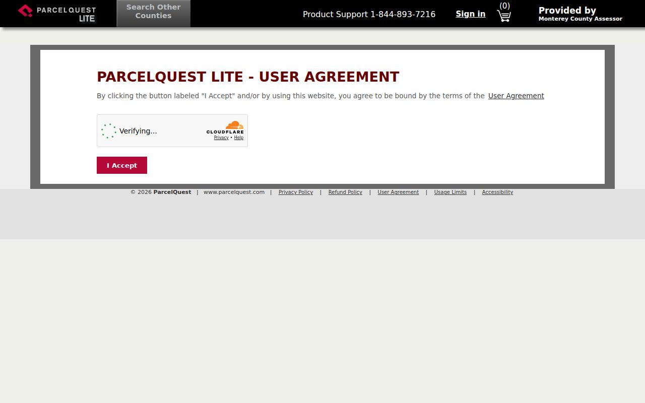
The screenshoted property-search route shows why a parcel key matters. A street address supplies a place, while the APN lets the assessment and deed systems meet that place.
For nearby parcels, the GIS geometry says which lots touch or sit within a chosen shape. It does not say that every owner lives on the parcel, and it does not reveal unlisted household members.
Separate Salinas Address Types
One address can have several labels. The situs address is the physical location of the parcel. An owner mailing address is where tax or assessment correspondence is sent. A legal description is the language that controls the deed. A business address identifies a filing or practice location. A ZIP and postal city describe delivery, not necessarily the city boundary. The address record is more accurate when those labels are never collapsed.
- Parcel
- A mapped piece of land with an APN used by Monterey County assessment and GIS systems.
- Situs address
- The physical address tied to a parcel, even when mail is sent somewhere else.
- Plat
- A recorded or survey map that helps connect lots, blocks, tracts, and streets to a legal description.
- Criss-cross directory
- An address-first directory section that can show a listed householder or business for a particular publication year.
The Monterey Property Inquiry instructions say Internet owner-name and address searches are unavailable. The separate ParcelQuest APN and map route can help locate an identifier, but it should not be described as an unrestricted owner-name directory. At the assessor counter, a screen print, property-characteristics report, or ownership and mailing product may answer a narrower question.
Salinas Street Directory Record Sets
Address-keyed records answer different parts of a street question. The table below keeps the current Salinas street directory in record-set form. It shows who keeps the evidence, what it can show, and where the public access ends.
| Record set | Keeper | What it can show | Access |
|---|---|---|---|
| Parcel geometry and APN | Monterey County GIS | Situs location, boundaries, adjacent parcels, map context | Free Parcel Report App and map selection |
| Assessment roll | County Assessor | Assessed owner, parcel status, TRA, values, exemptions, characteristics | APN or assessment search; counter products |
| Deeds and instruments | County Recorder | Grantor, grantee, document type, recording date, legal description | 1978 to present and 1850 to 1977 indexes; images at counter |
| Tax bill | Treasurer-Tax Collector | Account, billed amount, payment or delinquency, mailing destination | Account or parcel route; not occupancy proof |
| Permits and code files | Salinas Permit Center and City Clerk | Project, work date, applicant, contractor, inspection, case activity | Account portal or public-record request |
| Historical street listing | John Steinbeck Library | Listed householder, business, address, occupation, and year | Local History, Business Reference, or microform |
A street directory result is strongest when two custodians agree on the address and date. The recorder index is not address-keyed, so convert the parcel to a current owner and legal description first. The voter file is not a casual street source: My Voter Status belongs to the authenticated voter, and a broader file requires an Elections Code section 2194 purpose and application.
Follow a Salinas Street Deed Chain
Start with the current assessed owner only as a parcel anchor. In the recorder's current Tyler index, search that person or entity as grantee and look for the acquisition instrument that matches the APN, legal description, recording date, and document number. Record the grantor. Search that grantor as grantee for the prior acquisition, then repeat. A person may own more than one parcel, so the legal description is the control point.
The county divides the online index into Current Official Records, Fictitious Business Names, and CEQA records from 1978 to present, plus a Historical Official Records Index from 1850 to 1977. The Tyler entry warns that the index is like a library card catalog, not the instrument itself, and advises searching spelling variations. A scan may be available at a Recorder terminal even when the remote page shows only the index.
The Monterey recorded-document index shows the access notice before the search begins.
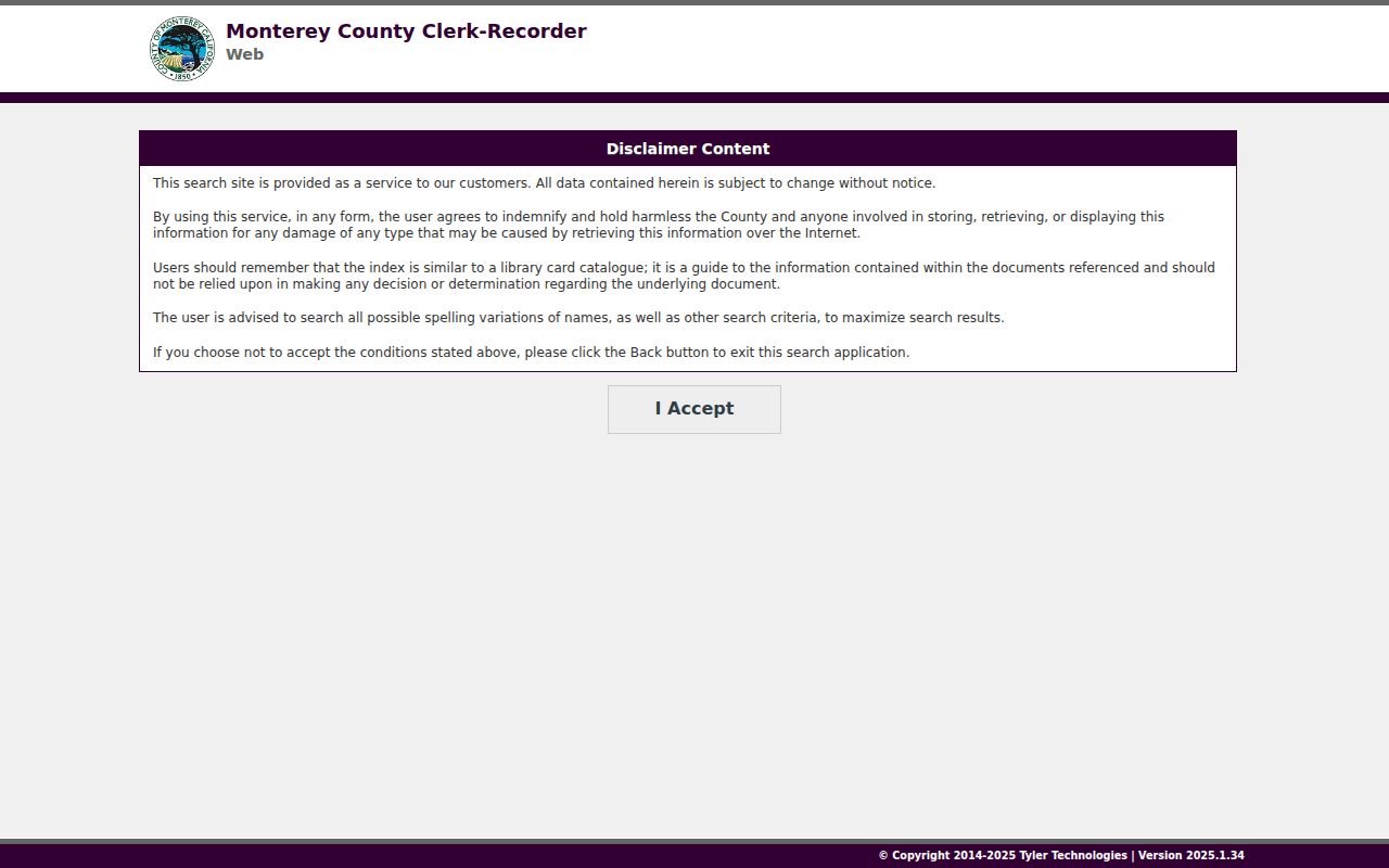
The index can identify a document trail, but an official copy is needed when the wording, map, signature, or full legal description matters. Recorder copies are listed at $2 per page and certification at $2 per document; map copies are listed at $5 per page.
Plats and subdivision maps can bridge a modern street to an older lot and block. A recorded return address may help with mailing context, but it is not necessarily a residence.
Salinas Permits by Address
City permit records add a time stamp to a street address. The Salinas Permit Center coordinates building, simple, sign, demolition, fire, zoning, land-use, code, and development-engineering matters. The Paperless Permits portal is an application system. Its login form asks for an email and password, and an account is needed to access a project. It should not be described as a public historical index of every permit at every Salinas address.
For an older permit card, plan, inspection history, or City Report, use the Permit Center or a city public-record request. The city's Permit Services page describes the request and inspection route. A permit may name an applicant, contractor, or owner and can date work at the property. A code complaint can identify an issue location and type, but the person who submitted it may be protected and the complaint does not prove who occupied the address.
The Salinas Permit Center is the city entry point for these address records.
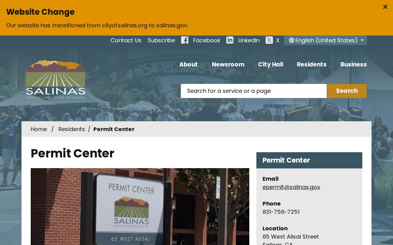
The portal image supports a practical rule: use an application account for the account holder's project, and use the city request route for a releasable older file.
A permit participant is evidence about a project. It is not a complete resident entry.
Read a Salinas Street in Polk
Historical street work shifts from a parcel key to a publication year. The John Steinbeck Library holds Polk volumes for Salinas and the wider valley, including 1926, 1928, 1930, 1933, 1937, 1939, 1941, 1946, 1949, 1952, 1953 through 1959, 1969, and Salinas Valley editions from 1971 into the 1990s. Start with the alphabetic entry to capture spelling, spouse notation, occupation, and address. Then ask the Reference Desk whether that edition has a reverse or criss-cross section.
A reverse section can make an old street directory useful for a house-history question. It may show a listed householder or business by number, after which the alphabetic entry supplies more detail. Editions vary. Regional volumes include rural routes and nearby communities, so the original locality needs to remain in the notes.
The historical shelf belongs to the Salinas directory book collection page, which explains the dated runs and entry conventions without replacing the current parcel chain.
Salinas Annexations and Rural Routes
Salinas street records have a geography problem that can look like a missing household. The 1926 through 1952 Polk volumes include rural routes and communities beyond the incorporated city. The library history records a first annexation of 52 acres along Romie Lane in 1933. Forty-three additions from 1950 through 1956 doubled the city's area, and the Alisal District joined East Salinas in 1963. An old address may therefore acquire a Salinas label later without a move.
No authoritative source in the research established a citywide street-renumbering year. Do not fill a directory gap with an invented renumbering story. Compare the 1878 grade map, Sanborn sheets, assessor maps, subdivision maps, deeds, and city annexation material. Keep the old street or rural-route wording until a map or custodian makes the bridge clear.
Postal geography can add another mismatch. ZIP codes 93907 and 93908 use Salinas as a postal city while reaching substantial unincorporated land. The ZIP label does not settle which city or county office holds a permit, parcel, or public record.
Salinas Street Directory Fallbacks
A resilient Salinas street directory has more than one access route. If an online parcel search fails, try the county counter or a screen-print request. If a deed index shows a document but no image, use the Recorder terminal or order a copy. If the Paperless Permits login does not expose an old file, ask the Permit Center or City Clerk for a focused record. If a historical address is unclear, ask John Steinbeck Library Reference staff and, for older county material, the Monterey County Historical Society.
The county public-records route is a California Public Records Act request for an identifiable, nonexempt record. The Monterey County request route is the starting point. State the address, parcel, document type, date range, and desired format. The request may produce a redaction, a no-record response, or a link to the office that owns the file. It does not make the agency create a resident roster.
These counter, request, portal, and library channels are part of the street directory itself. Online access is one door, not the whole record trail.
What a Salinas Street Directory Cannot Show
A Salinas street directory can show parcels, assessed owners, recorded parties, project participants, and selected historical householders. It cannot provide a complete list of everyone connected to an address. Household members may never appear in a property roll. Utility and delivery records are not open street sources. DMV addresses are protected by the federal Driver's Privacy Protection Act. Safe at Home and other confidential records intentionally hide address details.
Owner, mailing, business, and situs addresses must stay distinct. A matching mailing address does not prove physical presence, and a current owner does not prove who sleeps at the property. A historical Polk entry proves a listing for its edition year, not continuous occupancy. Commercial neighbor or people-finder profiles may be stale, copied, or merged, so official records should carry the proof burden.
Lawful use. Use street and parcel records for family history, estate work, civic research, property history, or a careful personal reconnection. Never use a Salinas street directory to stalk, harass, threaten, impersonate, or expose a protected person.